Land & Contour Surveying Services in Agartala
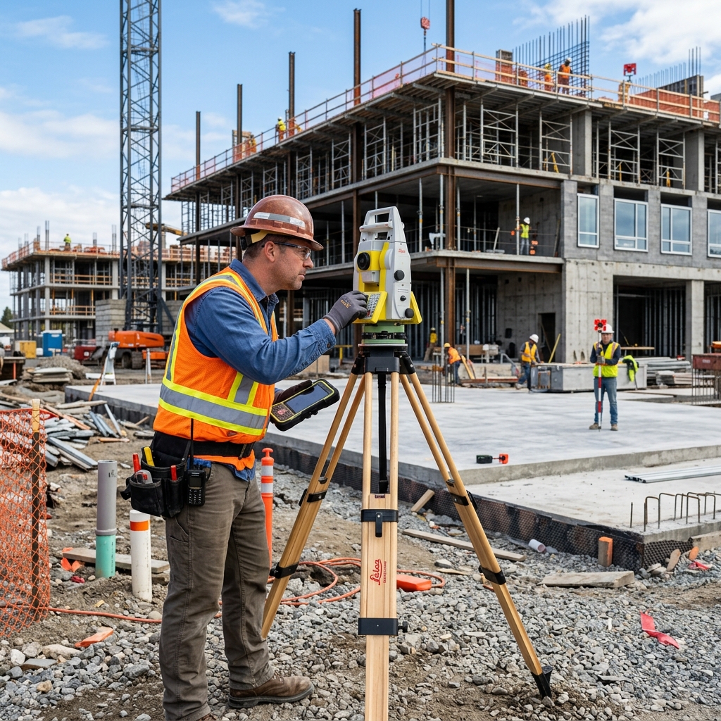
Eliminate property boundary disputes and elevation guesswork. Our licensed land surveyors deploy electronic Total Stations and DGPS technology to provide millimetric digital mapping for construction in Agartala.
Exact Boundary Demarcation & Topographical Leveling
Many land parcels across Agartala feature hilly undulations, irregular geometric boundaries, or historical discrepancies between recorded deed maps (khatians) and ground realities. Relying on basic tape measurements often triggers neighbor boundary disputes and incorrect building setbacks.
Vastu MK uses modern optical Electronic Total Stations (ETS) and high-accuracy Differential GPS (DGPS) to capture millimetric 3D coordinate networks. Whether demarcating a residential boundary, surveying a commercial campus, or charting contour elevations for drainage engineering, we deliver flawless CAD-ready intelligence.
Core Surveying Deliverables & Technology
Total Station Boundary Surveys
High-accuracy laser distance and angular measurement establishing exact perimeter dimensions and boundary pegs.
Contour & Elevation Mapping
Fine-interval 3D surface topography indicating slope gradients, high/low points, and natural stormwater runoff directions.
Cut & Fill Earthwork Calculations
Exact volumetric earthwork computations to optimize land leveling, retaining wall design, and soil filling costs.
DGPS Satellite Geo-Referencing
Sub-centimeter WGS84 / UTM coordinate positioning linking physical plots directly to revenue survey master grids.
Cadastral Revenue Map Overlay
Overlaying physical ground survey data onto official Tripura revenue mouza maps to resolve encroachment and land titles.
AutoCAD Drawing Deliverables
Clean, layer-organized 2D/3D CAD DWG plans ready for immediate architectural and civil structural drafting.
Why Choose Vastu MK for Land Surveying in Agartala?
State-of-the-Art Instruments
Calibrated Topcon and Leica Total Stations ensuring absolute millimetric precision on every axis.
Legal Boundary Certifications
Signed certified survey drawings accepted by municipal authorities, revenue courts, and banks.
Fast 48-Hour CAD Turnaround
Prompt field dispatch across Agartala with digitized CAD blueprints delivered without unnecessary delay.
Other Services We Provide

Building Planning & Approval
AMC-compliant municipal approvals, Vastu layout designs, and working blueprints.
Turnkey Construction
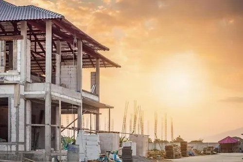
Complete residential and commercial building construction with seismic-safe engineering.
Architectural & 3D Design
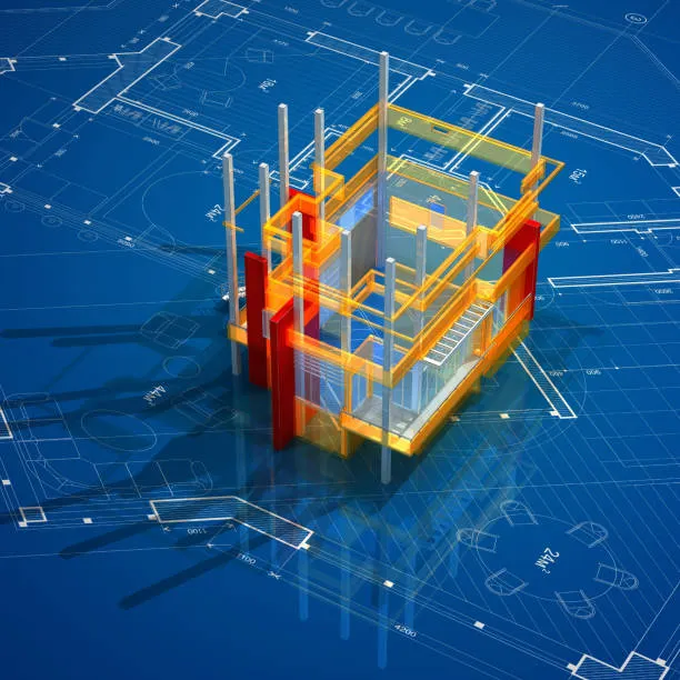
Custom floor plans, photorealistic 3D front elevations, and modern exterior design.

Interior Design
Modular kitchens, premium false ceilings, custom wardrobes, and luxury aesthetics.

Geotechnical Soil Testing
Standard Penetration Testing (SPT), bore log data, and safe bearing capacity reports.

Deep Foundation Piling
Heavy-duty cast-in-situ bored piling machinery for loose and waterlogged soils in Agartala.

Property Valuation
Approved chartered valuation for bank home loans, visa applications, and tax purposes.
Cost Estimation & BoQ
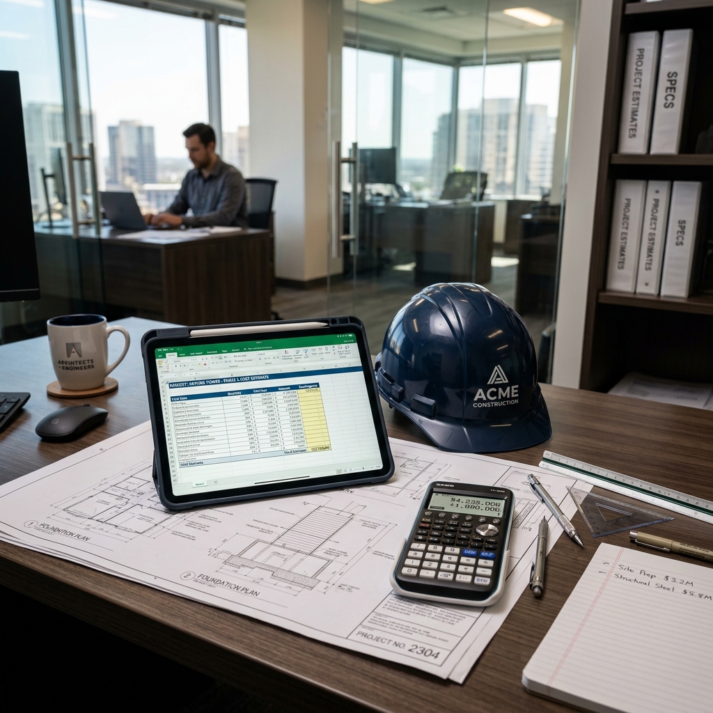
Detailed Bill of Quantities, material takeoffs, and labor rate breakdowns.
Frequently Asked Questions
Why is a digital Total Station survey recommended before buying land in Agartala?
A Total Station digital survey establishes exact ground boundaries, identifies potential encroachment by neighboring plots, confirms actual square footage against deed records, and verifies road access widths before financial commitment.
What is the difference between boundary survey and contour topographical survey?
A boundary survey delineates legal perimeter edges and corner points. A contour survey maps ground elevation levels, slopes, and undulations, which structural engineers need to design retaining walls and calculate cut-and-fill soil volumes.
Can your survey data be integrated into AutoCAD for building planning?
Yes, we export full 2D and 3D digital deliverables in DWG, DXF, and PDF formats, georeferenced for direct integration into municipal sanction drawings and architectural plans.
How quickly can your survey team visit a site in Tripura?
Our surveyors can mobilize to any location in Agartala within 24 to 48 hours of booking. Standard plot surveys are concluded in a single day, with CAD deliverables submitted in 2 to 3 days.
Get Accurate Ground Intelligence for Your Land
Book a digital Total Station land survey with Vastu MK to protect your boundary lines and build with confidence.